TNC, with an important contribution from the Latin American Water Fund Partnership, has led the creation of a series of online tools that were the result of a wide collaboration among Water Fund professionals from around the world. Also, TNC developed other tools for exclusive regional use. In this section, users will be able to have free access to virtual tools globally.
Toolbox: The Toolbox was developed as part of a key publication under the name: 'Water Funds Manual' (2012), created by the Latin American Water Funds Association, the beta site of Water Funds (2016). It was then field-tested and improved with the Desired State methodology (2018) and extended to incorporate global experience. This information was published in a new site in 2018.
Field Water Funds Field Guide: This is intended to provide professionals with a step-by-step guide to the Water Funds Project Cycle. It integrates many of the concepts developed by the methodology of the Desired State of Water Funds, the current standard used by the Latin American Water Funds Partnership.
Conservation Training: www.conservationtraining.org is a digital training platform that provides a step by step "deep immersion" on the development of Water Funds. It was prepared by experts in relevant aspects of the Water Funds model, as well by specialists in curricula and adult learning. The training offers components of online and face-to-face workshops, which complement and reinforce each other.
Who can use these tools?
The community of interested professionals or related to the feasibility, design, creation, operation and monitoring processes of a Water Fund. Among them:
Scientific and NGO community
National leaders
Urban leaders
Upstream communities in watersheds and those settled around them
Citizens
Companies
Scientific Platforms
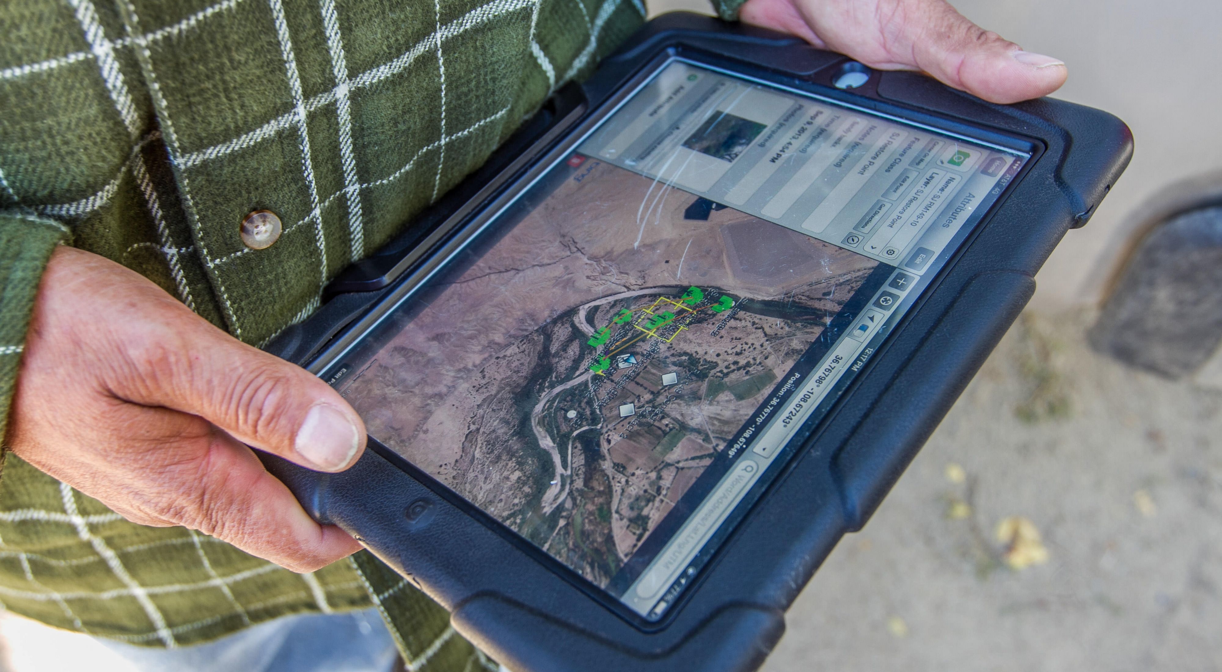
In 2016, a new era began in the management of Water Funds information due to the use of the RBIS - River Basin Information System platform.
RBIS is an open source web-based platform designed to manage information on integrated water resources management and watershed management projects. It is the product of more than 10 years of development by the Geography Department of Friederich Schiller University in Jena, Germany.
RBIS is an open source software that allows the organization of meteorological, hydrological and geo-spatial information in Water Funds, both for the design stage and during the operation stage to organize the monitoring system.
Below you will see a series of links to access this tool which is already being used by several Water Funds:

Tool
RBIS Peru
Open access platform for users in Peru

Tool
RBIS Brasil
Open access platform for users in Brazil

Tool
RBIS Brasil
Open access platform for users in Brazil

Tool
RBIS Ecuador
Open access platform for Ecuador users

Tool
RBIS Dominican Republic
Open access platform for users in the Dominican Republic

Tool
RBIS Mexico
Open access platform for users in Mexico

Tool
RBIS Mexico
Open access platform for users in Mexico

Tool
RBIS SANDES
Open access platform for users in Argentina and Chile